
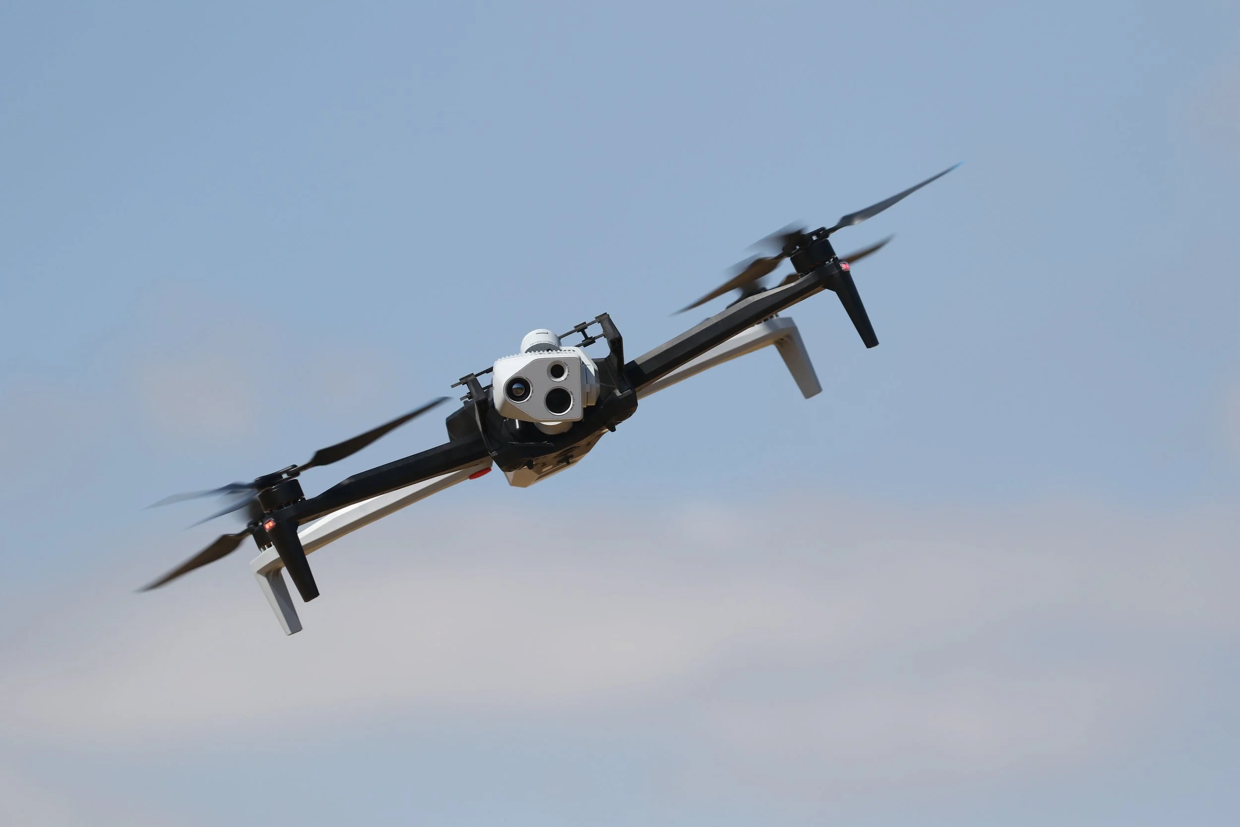
Precision Aerial Solutions Built Around Your Goals
B3 Drone Services LLC. bridges the gap between ground-level challenges and high-altitude clarity. We specialize in capturing high-resolution photos, full-HD/4K video, geometrically accurate maps, and 3D digital models designed to keep your teams safe and your budget on track.
Uncompromised Safety: Eliminate the need to put crews in high-risk, hazardous, or inaccessible areas.
Sub-Centimeter Precision: Capture reliable, positionally accurate datasets across expansive sites.
Tailored Flight Plans: No two projects are identical. Every flight mission is custom-designed around your unique specifications and deliverables.
Applications of Drone Imagery
Urban Planning: Digital surface and terrain modeling (DSM/DTM).
Construction: As-built documentation that reduces manual field exposure.
Engineering: Precise cut-and-fill volume calculations and infrastructure inspections.
BIM & Design: High-precision 3D digital twins and point cloud generation.
Thermography: High-resolution radiometric sensors to capture precise heat signatures.
PHOTOGRAMMETRY
Photogrammetry provides visual confirmation of the measured distance between objects and can be applied for a variety of purposes, from urban planning and construction to insurance claims and energy infrastructure.
ORTHOMOSIAC IMAGERY
Transform your site photos into a powerful mapping tool. An orthomosaic combines individual drone images into one high-resolution, color-balanced composite. By correcting geometric and perspective distortions, we create a true-to-scale map that enables you to easily measure distances, perimeter, and surface areas without needing to step foot on site.
AERIAL SITE IMAGERY
Aerial imagery, commonly known as aerial photography, is one of the most straightforward and popular uses for drone services. To capture high-resolution photos, image series, or video, a remote pilot simply flies over the targeted area and captures the location from above.
MAPPING & MODELING
B3 Drone Services LLC. can combine highly accurate point cloud data from our drone photogrammetry to create dimensionally accurate aerial photographs. We also offer several deliverables:
Point Clouds
3D Models
2D Orthoimages
Flythrough Videos
THERMOGRAPHY & THERMAL INSPECTIONS
Thermal imaging detects invisible heat signatures, temperature anomalies, and energy loss that are undetectable to the human eye. By utilizing high-resolution radiometry, we deliver actionable thermal data to identify critical faults early, streamline maintenance, and prevent costly equipment failure or downtime.
Radiometric JPEG / TIFF Imagery: Standard images embedded with precise per-pixel temperature data.
Isotherm & Temperature Delta Reports: Visual maps highlighting targeted temperature ranges or differential thresholds.
Level 2 Thermal Inspection Reports: Standardized reports formatted to highlight priority severity levels (Critical, Serious, Minor) for maintenance teams.