
Advanced Aerial Capture & 2D Mapping
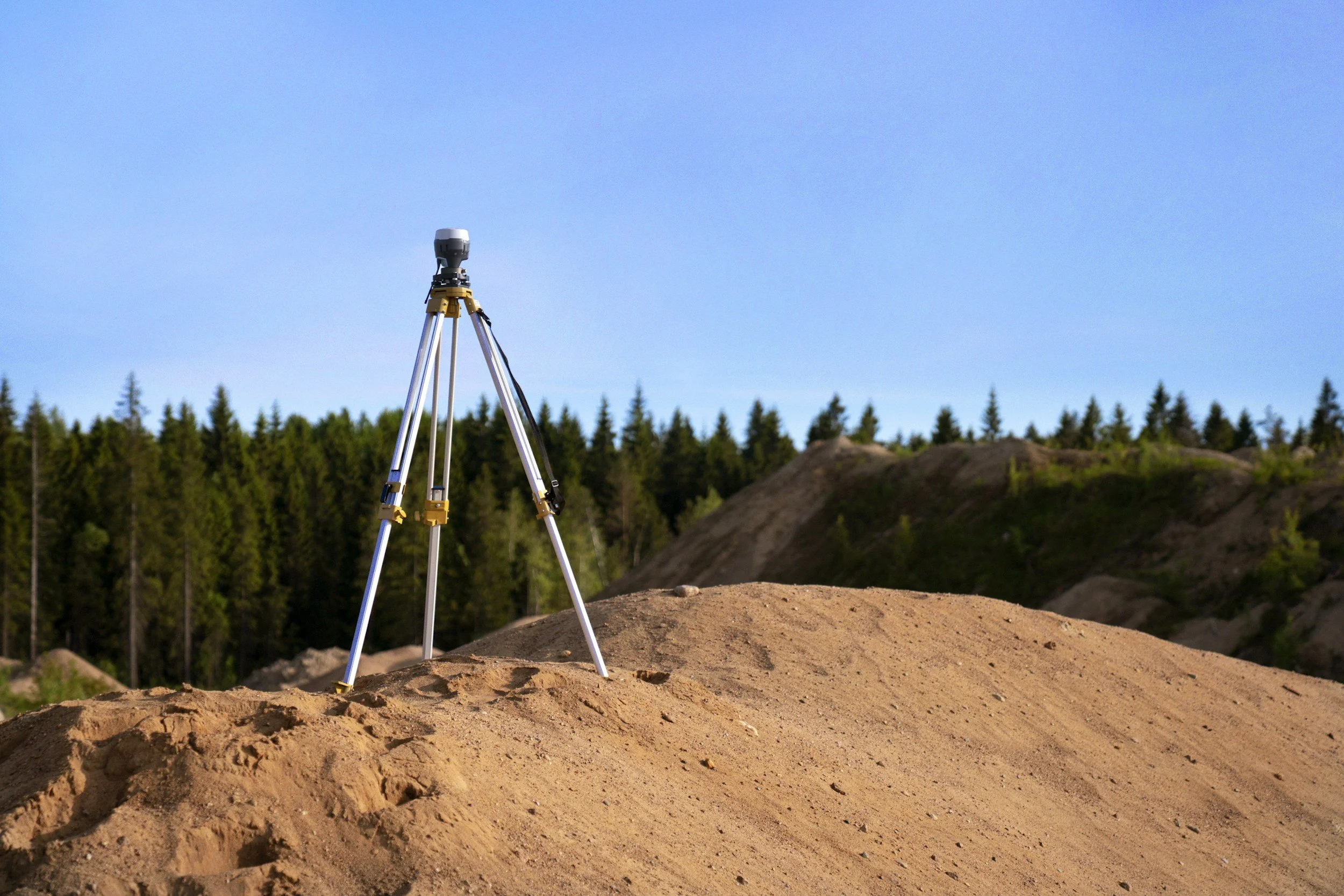
High-precision aerial mapping leveraging Real-Time Kinematic (RTK) positioning and Ground Control Points (GCPs). This package delivers sub-centimeter spatial accuracy required to precisely overlay multi-date site progression maps over time.
Essential for construction, engineering, and earthwork projects where exact alignment between current flights, historical baselines, and CAD site plans is required.
Key Deliverables:
High-resolution RAW aerial photography
2D orthomosaic map calibrated with RTK positioning & targeted GCPs
Sub-Centimeter positional accuracy for exact multi-date map overlays
Digital Surface Models (DSM) / Digital Elevation Models (DEM) available upon request