
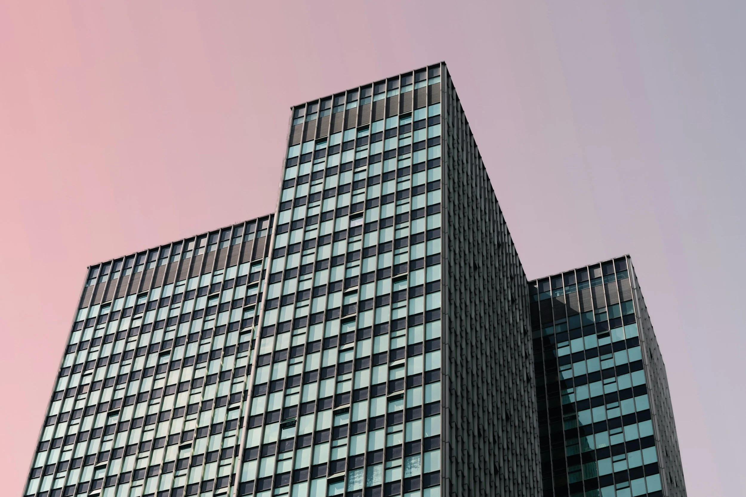
3D Digital Twin & Asset Scan (RTK-Accurate)
Complete three-dimensional spatial digitization for complex physical assets, structures, and job sites. Utilizing high-density photogrammetry and RTK positioning, we generate interactive, sub-centimeter accurate 3D digital twins that allow stakeholders to inspect, measure, and analyze assets remotely from any device.
Designed for facility managers, structural engineers, and project leads who require millimeter-level visual fidelity to perform virtual inspections, volumetric calculations, and seamless integration into CAD, BIM, or GIS workflows.
Key Deliverables:
Georeferenced, millimeter-accurate 3D Textured Mesh & Point Clouds (.obj, .las/.laz, .e57)
High-resolution 3D Digital Twin web interface for interactive site fly-throughs
Volumetric analysis & measurement-ready spatial models